Last updated: April 23, 2026
- Route: U.S. Route 41 (Miami, Florida to Copper Harbor, Michigan); runs through Marion County from Monteagle Mountain to the Alabama line
- Historic parent: The Dixie Highway, designated 1915, a named-auto-trail system running Chicago / Michigan to Miami
- Marion County through route: Monteagle Mountain → Jasper → Kimball → South Pittsburg → Alabama line
- Daily use pattern: Local commerce and commuter traffic; supplanted as long-distance route by I-24 between 1962 and 1971
The Dixie Highway era (1915 to 1927)
The Dixie Highway was a named auto-trail system created in 1915 by the nascent Good Roads movement to connect the industrial North with the Florida vacation market. Its route was not one road but a braid of named sections administered by the Dixie Highway Association. The eastern division ran Miami to Detroit through Chattanooga; the western division ran Miami to Chicago through Nashville. Both divisions passed through Tennessee, and the eastern division came through Marion County, climbing Monteagle Mountain out of the Nashville Basin, descending into the Sequatchie Valley, running south through Jasper and Kimball, crossing the Tennessee River at South Pittsburg, and continuing on to Chattanooga and Atlanta.
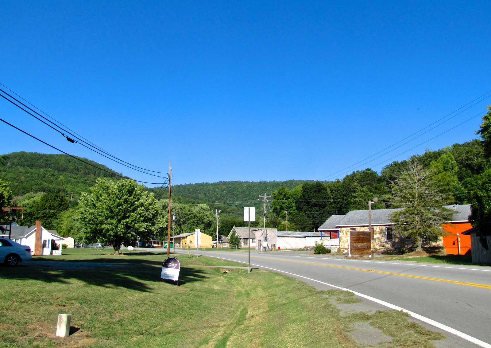
Marion County's place on the Dixie Highway was economically consequential from the outset. Motor courts, gas stations, roadside restaurants, and fruit stands clustered along the route through Monteagle, Jasper, Kimball, and South Pittsburg. Monteagle in particular became a long-running stopover town because of its position at the summit of the climb and its pre-existing identity as a Chautauqua-era summer resort (see Monteagle).
In 1926 the federal government introduced the U.S. Numbered Highway System, and the Dixie Highway's eastern division through Marion County was reassigned as U.S. Route 41, commissioned November 11, 1926. The name "Dixie Highway" faded from official signage but persisted for decades in local usage and in business names along the corridor.
Monteagle Mountain grade
The Monteagle Mountain segment of U.S. 41 was notorious for most of the 20th century. The original alignment ran up the eastern face of the Cumberland Plateau on a succession of hairpin curves with limited shoulders and no passing lanes. Heavy truck traffic, ice and fog, and the steep descent into the Sequatchie Valley made it one of the most hazardous stretches of U.S. highway in the Southeast. Wrecks and fatalities were regular news items in the Chattanooga Times and Nashville papers from the 1930s through the 1950s.
The opening of the Interstate 24 western ascent between Pelham and Monteagle on February 6, 1962 replaced the worst of the U.S. 41 hairpins and diverted long-distance traffic onto the interstate. See the Interstate 24 subpage for the full I-24 construction timeline. After 1962, U.S. 41 across the mountain became a largely local and tourism route, used for Monteagle Assembly, Sewanee, and the Mountain Goat Trail destinations, and as an alternate when the interstate was closed for snow or truck accidents.
The corridor still carries a notable weather history. Marion County's weather-history narrative records ice storms on the Monteagle grade in 1951 and repeatedly through the second half of the 20th century; both U.S. 41 and I-24 have been closed at Monteagle during the January 1951 storm, the March 1993 Superstorm, and the February 2026 ice storm.
The motor-court era
The roadside economy that grew up along U.S. 41 between the 1920s and the 1960s was the pre-interstate commercial engine of Monteagle Mountain and the upper Sequatchie Valley. Motor courts (the precursor to chain motels), tourist cabins, fruit and produce stands, country-style restaurants, and gas stations clustered at the top of the mountain and in the towns between there and the Alabama line. Many of the buildings survive, repurposed as storage units, small shops, or residences. Jim Oliver's Beehive drive-in opened on the corridor in 1960 and expanded into the Smoke House restaurant in 1975, the best-known single operation from the motor-court tradition to survive into the interstate era.
At Kimball, the original U.S. 41 alignment ran through what is now the town's downtown commercial strip. The interchange with I-24 at what became Exit 152 pulled the commercial center east of the old Dixie Highway by the late 1970s, leaving the earlier strip partly vacated while the interchange cluster grew. At South Pittsburg, U.S. 41 joined U.S. 72 at the river crossing, knitting the south Sequatchie Valley into the Chattanooga-Alabama corridor.
Decline and reuse after I-24
The full Nashville-to-Chattanooga run of I-24 opened in stages between 1962 and December 16, 1971. Long-distance through-traffic on U.S. 41 through Marion County dropped sharply as I-24 opened segment by segment. By the mid-1970s, U.S. 41 was a secondary local road through most of its Marion County mileage, trafficking school buses, farm traffic, and weekend visitors rather than regional freight and long-distance motorists.
The decline hollowed out the roadside economy that the Dixie Highway had supported. Motor courts closed one by one through the 1970s and 1980s. Monteagle retained a cluster of lodging at the top of the mountain by re-pitching itself at I-24 traffic rather than U.S. 41 traffic. Jasper's downtown along U.S. 41 was pulled off by the Kimball interchange, a pattern repeated across much of the rural Southeast as interstates bypassed older county-seat commercial centers.
The corridor has had a modest second life in the 21st century as part of the Sequatchie Valley Scenic Byway (see the Sequatchie Valley page). Trail of Tears Bell-route markers at Monteagle and Martin Springs preserve the older Cherokee forced- removal geography that followed nearly the same grade across the plateau (see Cherokee Lower Towns). The corridor remains a favored cycling route for the climb out of the valley and a daily commuter alternate when I-24 is closed.
Other U.S. highways through the county
U.S. 41 is the longest-running and most consequential U.S. highway corridor through Marion County, but the county is crossed by several others that are covered in the broader transportation subpage:
U.S. 41A diverges from U.S. 41 atop Monteagle Mountain and takes a separate Highland Rim and Middle Tennessee route through Pelham, Winchester, Tullahoma, Shelbyville, and Nashville before rejoining U.S. 41 to the north. U.S. 64 is the east-west route across the southern end of the county near South Pittsburg and the Alabama line. U.S. 72 crosses the Tennessee River at the Alabama line near Stevenson and runs east to Chattanooga, connecting the Marion County south bank to north Alabama commerce. U.S. 127 runs north through the Sequatchie Valley between Marion, Sequatchie, Bledsoe, and Cumberland counties, providing the principal north-south access to the northern-Plateau communities of Dunlap and Pikeville.
Related
About Marion County transportation history →
About Interstate 24 →
About the Shelby Rhinehart “Blue” Bridge →
About Jim Oliver's Smoke House →
About Monteagle →
About Kimball →
About South Pittsburg →