Last updated: April 23, 2026
Marion County covers roughly 500 square miles in southeastern Tennessee, bordered by Hamilton and Sequatchie counties to the north, Grundy County to the northwest, and Jackson County, Alabama to the south. Elevations range from about 630 feet along the Tennessee River near South Pittsburg to over 2,000 feet on the Cumberland Plateau at Monteagle. Between those extremes lie the Sequatchie Valley, the Tennessee River Gorge, sandstone bluffs, waterfalls, cave systems, and a remarkably diverse natural history that has shaped where people settled, what they mined, and where they go to hike today.
The county's physical story works on three scales. At the largest scale, two dominant structures shape everything else: the breached Sequatchie Anticline, whose eroded crest gave the valley its length and straightness, and the Cumberland Plateau escarpment on either side of it, a sandstone wall that confines where people can farm, build, or drill. At a second scale, the county is karst: the limestone beneath the valley floor and beneath the plateau edges hosts hundreds of caves, a dense network of sinkholes, and the karst springs that feed the Sequatchie River and the public water systems of Jasper and surrounding communities. At the smallest scale, the plateau rim's wet-weather waterfalls, sandstone overlooks, and cove hardwood forests attract climbers, hikers, and birders to a landscape that was stripped for timber and coal a century ago and has since recovered enough to support federally endangered species.
The Sequatchie Valley
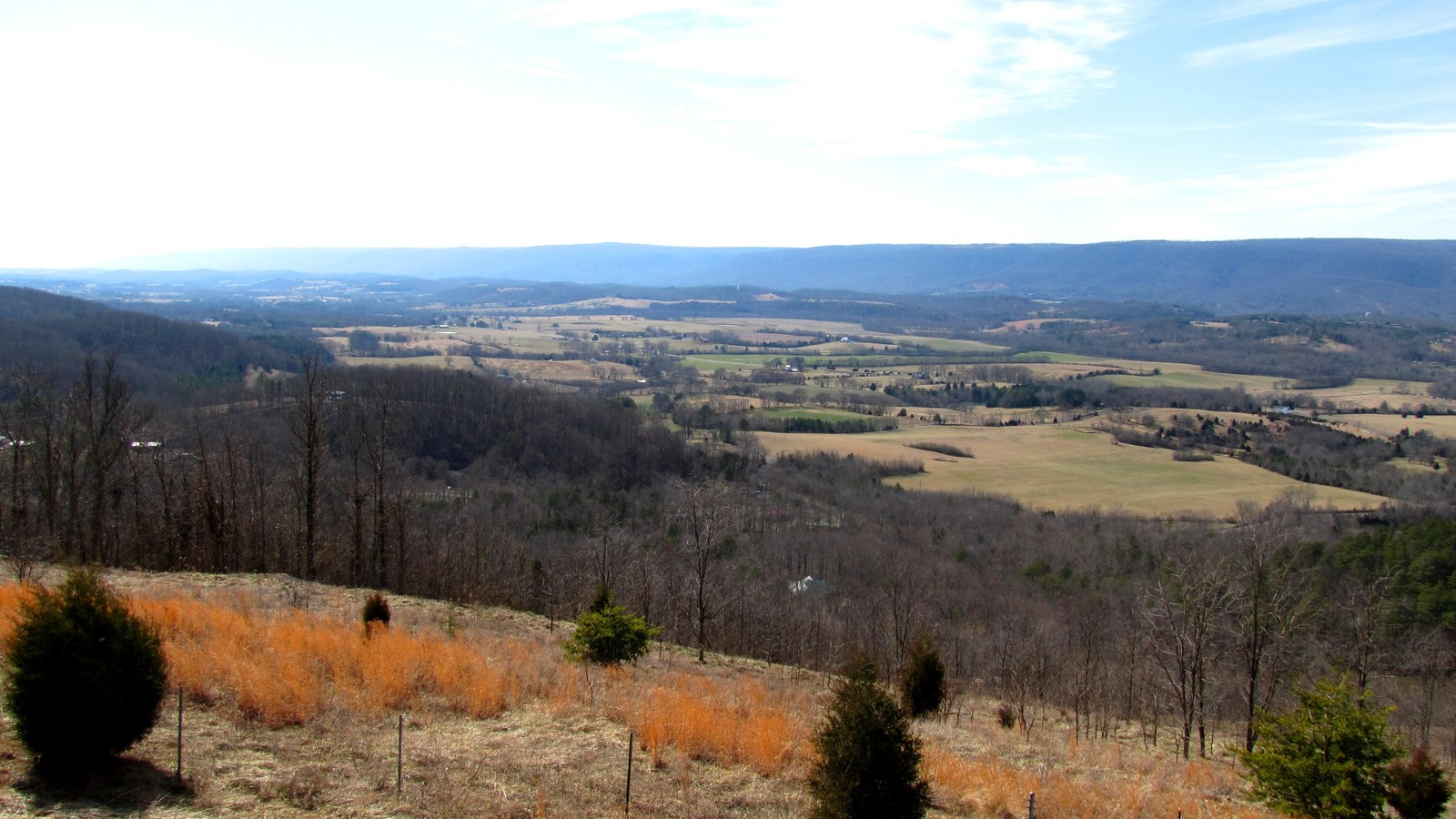
The Sequatchie Valley is the defining geographic feature of Marion County. Stretching roughly southwest-to-northeast through the southeastern Cumberland Plateau, it is one of the longest continuous valleys in the eastern United States. Marion County forms the valley's southern end; Sequatchie and Bledsoe counties lie to the north.
Rivers & the gorge
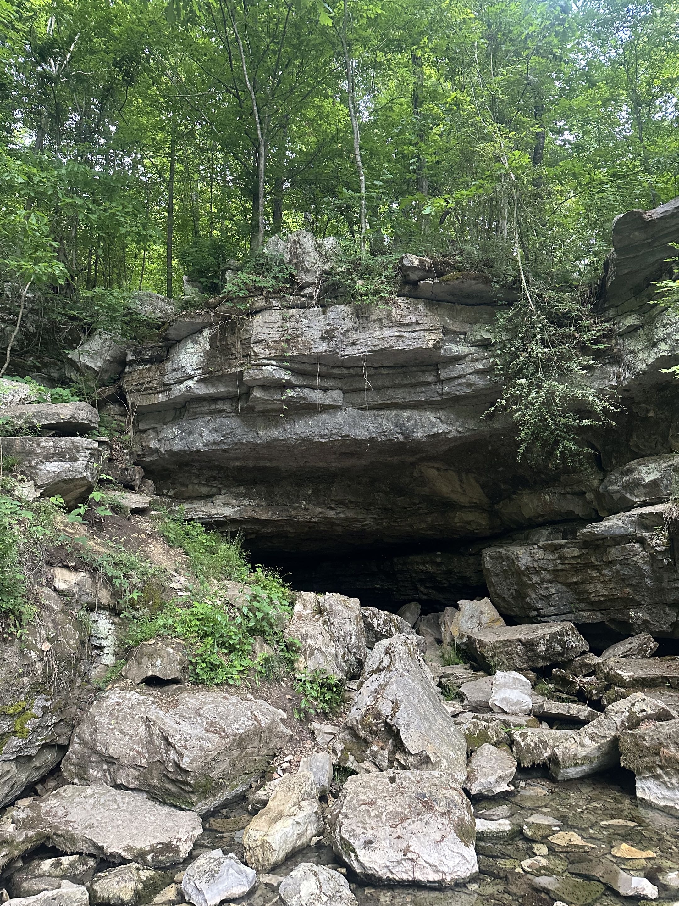
Two rivers shape Marion County. The Tennessee River defines the county's southern boundary for 26 miles, cutting through the Cumberland Plateau in the “Grand Canyon of Tennessee.” The Sequatchie River, rising from karst springs at Devilstep Hollow Cave, runs the length of the valley and joins the Tennessee at Kimball. The Marion County reach of the Tennessee has been dammed twice (Hales Bar 1913 and Nickajack 1967); the Sequatchie remains entirely free-flowing.
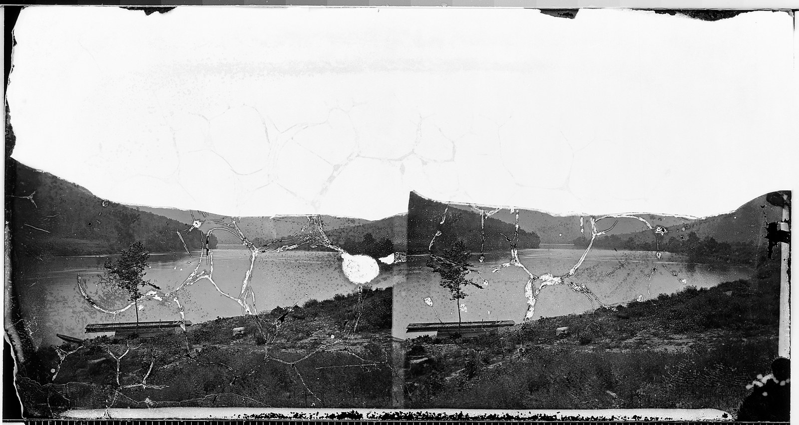
The Tennessee River
The river that defines the county's southern edge, from the historic Suck rapids to modern Nickajack Lake.
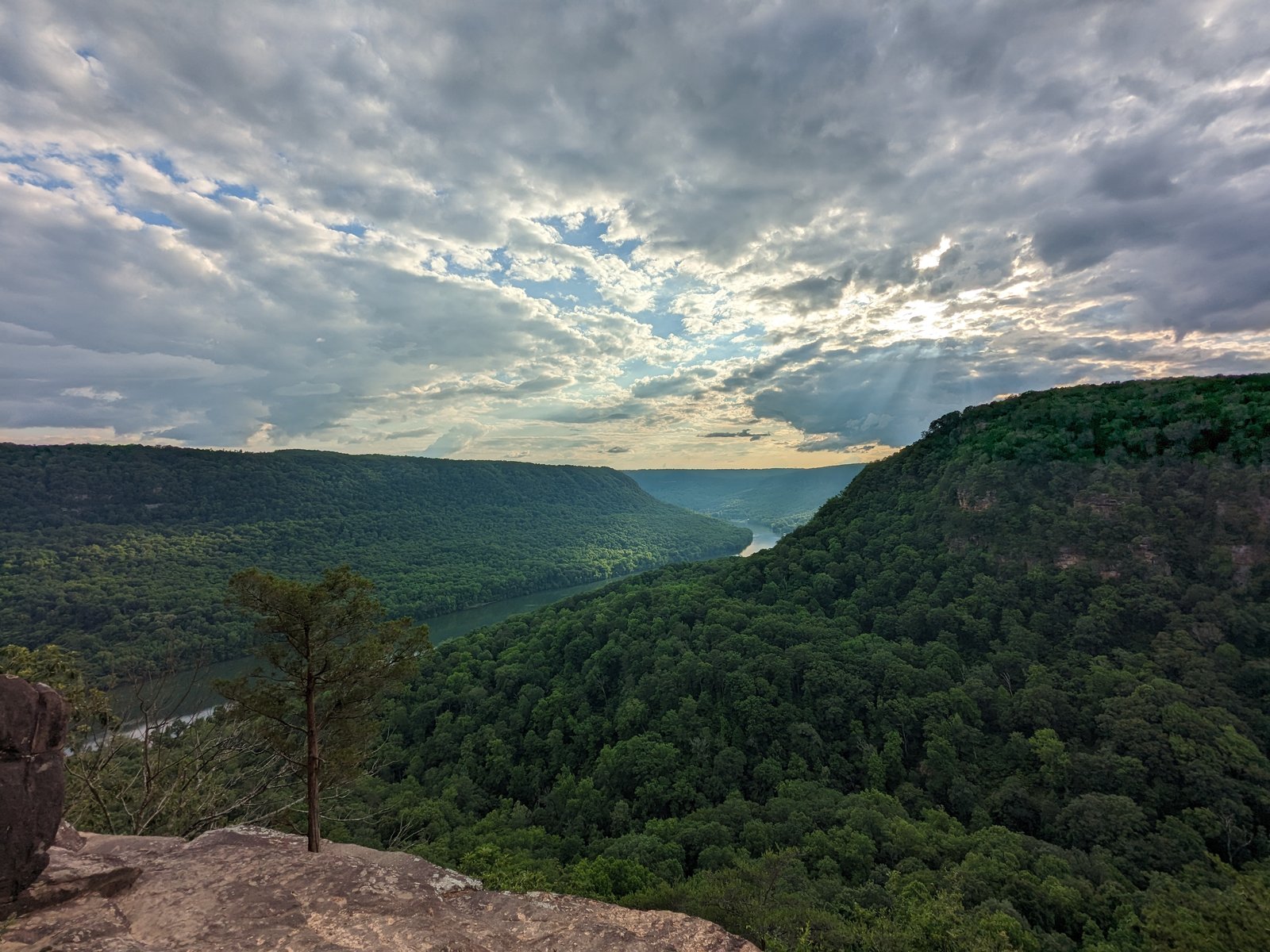
Tennessee River Gorge
The fourth-largest river gorge in the eastern U.S., with over 17,000 acres protected by the Tennessee River Gorge Trust and home to the federally threatened large-flowered skullcap.
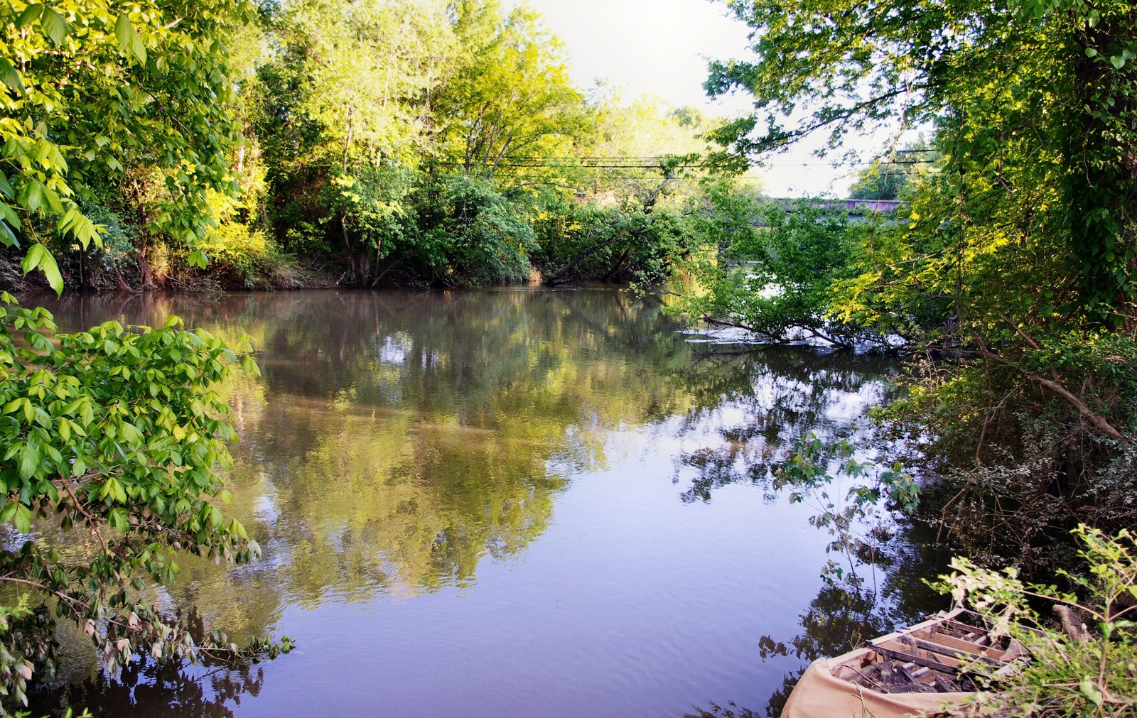
The Sequatchie River
A 116-mile free-flowing tributary of the Tennessee, fed by karst springs and never dammed.
Nickajack Lake, Cave & Dam
Three features in southern Marion County share the Nickajack name: a TVA reservoir, a large limestone cave, and the dam that links them. All three sit along the Tennessee River where it passes through the Tennessee River Gorge. The name comes from the Cherokee Lower Town of Nickajack, which stood in the same area in the late 18th century.
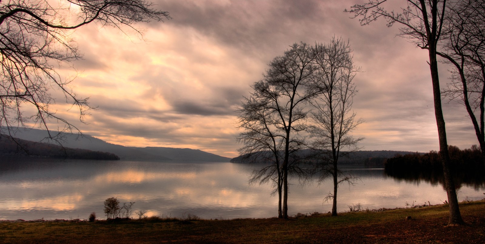
Nickajack Lake
A TVA reservoir created by Nickajack Dam in 1967, extending from Marion County upstream toward Chattanooga.
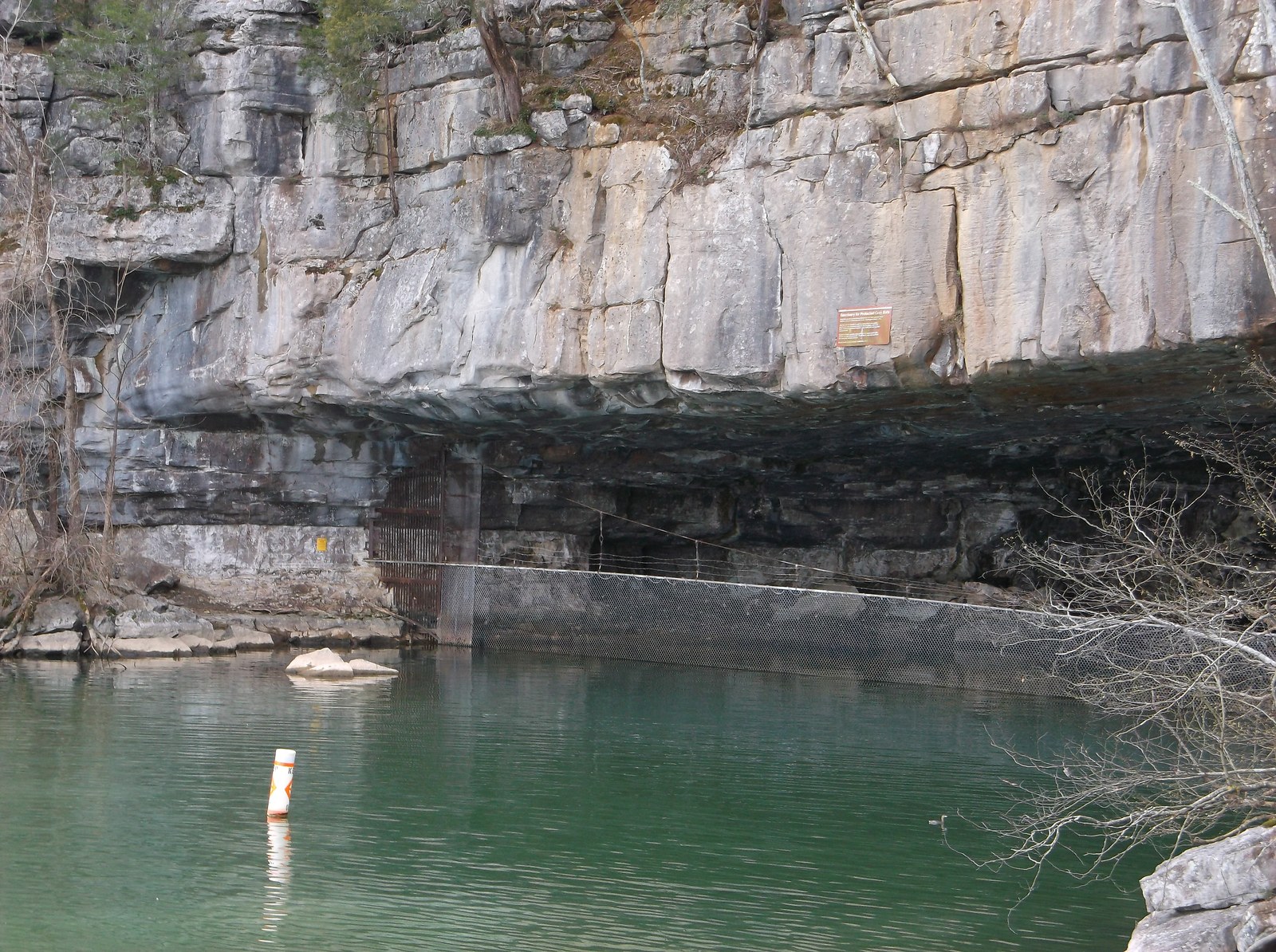
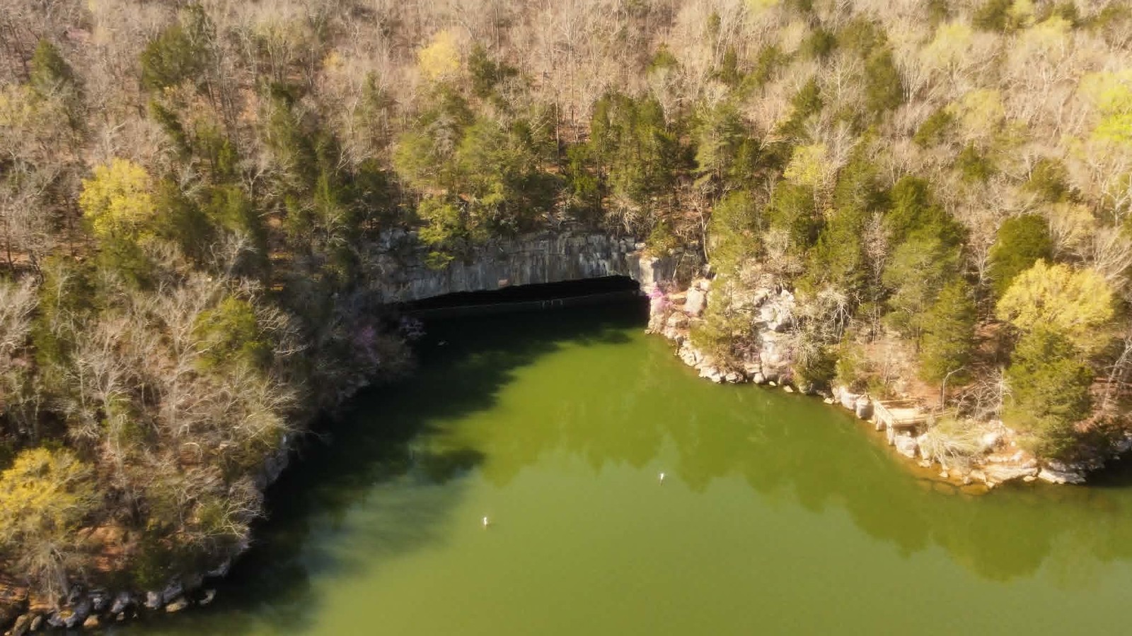
Nickajack Cave
A limestone cave with a 140-foot-wide entrance, partially flooded since 1967, now gated to protect a colony of over 100,000 endangered gray bats.
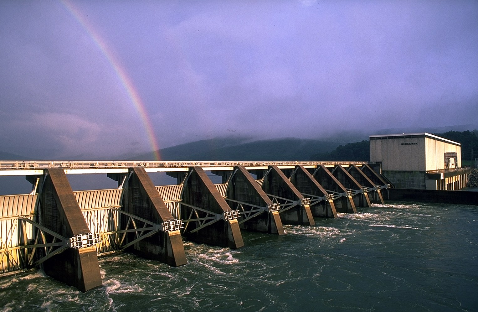
Nickajack Dam
A TVA hydroelectric project completed in 1967, replacing the older Hales Bar Dam of 1913.
Geology, caves & karst
The county's rocks set the stage for everything else. Pennsylvanian sandstone caps the plateau; Mississippian limestone underlies the Sequatchie Valley and the gorge walls; coal seams run through the caprock; and the soluble limestone produces one of the densest cave-bearing landscapes in the United States. Marion County sits within the TAG cave region (Tennessee-Alabama-Georgia) and contains hundreds of documented caves, from Nickajack and Sequatchie at the famous end to dozens of unnamed wet-weather shelter caves along the plateau rim.
Geology
The Cumberland Plateau escarpment, the breached Sequatchie Anticline, coal seams, and the stratigraphy that built the landscape.
Caves
Marion County within the TAG cave region: Nickajack, Sequatchie, Blowing, Russell, and the karst ecosystem that made them.
Karst & Sinkholes
Surface karst features, principal springs, sinking creeks, the USGS 2024 cross-valley flow-path mapping, and the Hales Bar karst-foundation case study.
Waterfalls & overlooks
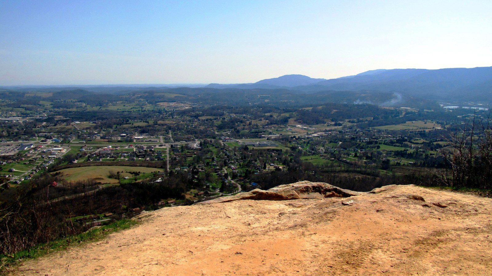
Where streams cross the plateau rim, they drop as waterfalls; where the rim itself steps out above the gorge or the valley, it produces sandstone overlooks. Foster Falls and Denny Cove anchor the county's formal waterfall destinations; Edwards Point, Snooper's Rock, and Julia Falls Overlook anchor the plateau-rim vantage points over the Tennessee River Gorge.
Waterfalls
Foster Falls, Denny Falls, Laurel Falls, Julia Falls, and the plateau-edge waterfall system of the Cumberland escarpment.
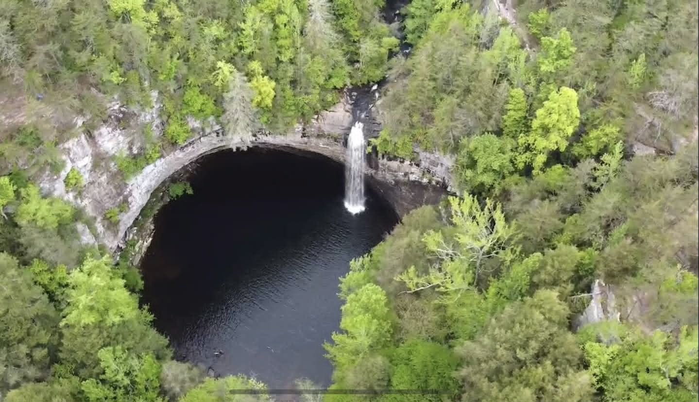
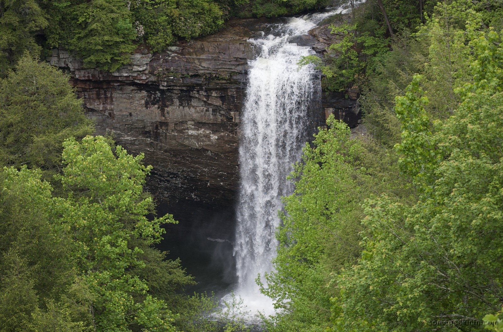
Foster Falls & Denny Cove
A 60-foot waterfall and gorge on the Cumberland Plateau escarpment, connected to the Fiery Gizzard Trail and the 685-acre Denny Cove climbing area.
Overlooks
Edwards Point, Snooper's Rock, Julia Falls Outlook, Raccoon Mountain, Signal Point, and plateau-rim vantage points.
Prentice Cooper State Forest
24,686 acres of plateau state forest and WMA along the Tennessee River Gorge's north rim, shared with Hamilton County.
Hiking & trails
Marion County's trails cluster along the plateau escarpment, the Tennessee River Gorge rim, and the Nickajack Lake shore. The Cumberland Trail State Scenic Trail crosses the county along Walden Ridge; South Cumberland State Park's Foster Falls and Denny Cove units lie at the Marion / Grundy line; Prentice Cooper holds 24,686 acres of plateau forest with 35 miles of trail; the Mountain Goat Trail's Monteagle segment touches the county; and several smaller trails sit inside the county boundary itself. Iconic cross-border destinations like the Walls of Jericho and Savage Gulf round out the landscape.
Hiking & trails (hub)
Major trail systems, trails inside the county, iconic border trails, a stats directory, and trip-planning notes for hikers visiting Marion County.
Cumberland Trail
Over 300 planned miles along the Cumberland Plateau, built by 235,000+ hours of volunteer labor, with its Tennessee River Gorge segment overlooking Marion County.
Mountain Goat Trail
A paved rail-to-trail along the historic Mountain Goat Railroad grade through Sewanee, Monteagle, and Tracy City, touching Marion County at Monteagle's southern edge.
Climate & Weather
Marion County has a humid subtropical climate with four distinct seasons. Winters are mild to cool, with occasional snow at higher elevations. Spring brings heavy rainfall that feeds the region's waterfalls and springs. Summers are warm but moderated by elevation, Monteagle and other plateau communities stay cooler than the valley floor. Fall brings color change in the Cumberland Plateau's hardwood forests. Thunderstorms in spring and summer can be intense, and the region occasionally experiences tornadoes. Major floods, ice storms, and droughts are part of the county's documented weather history.
Flora, Fauna & Ecology
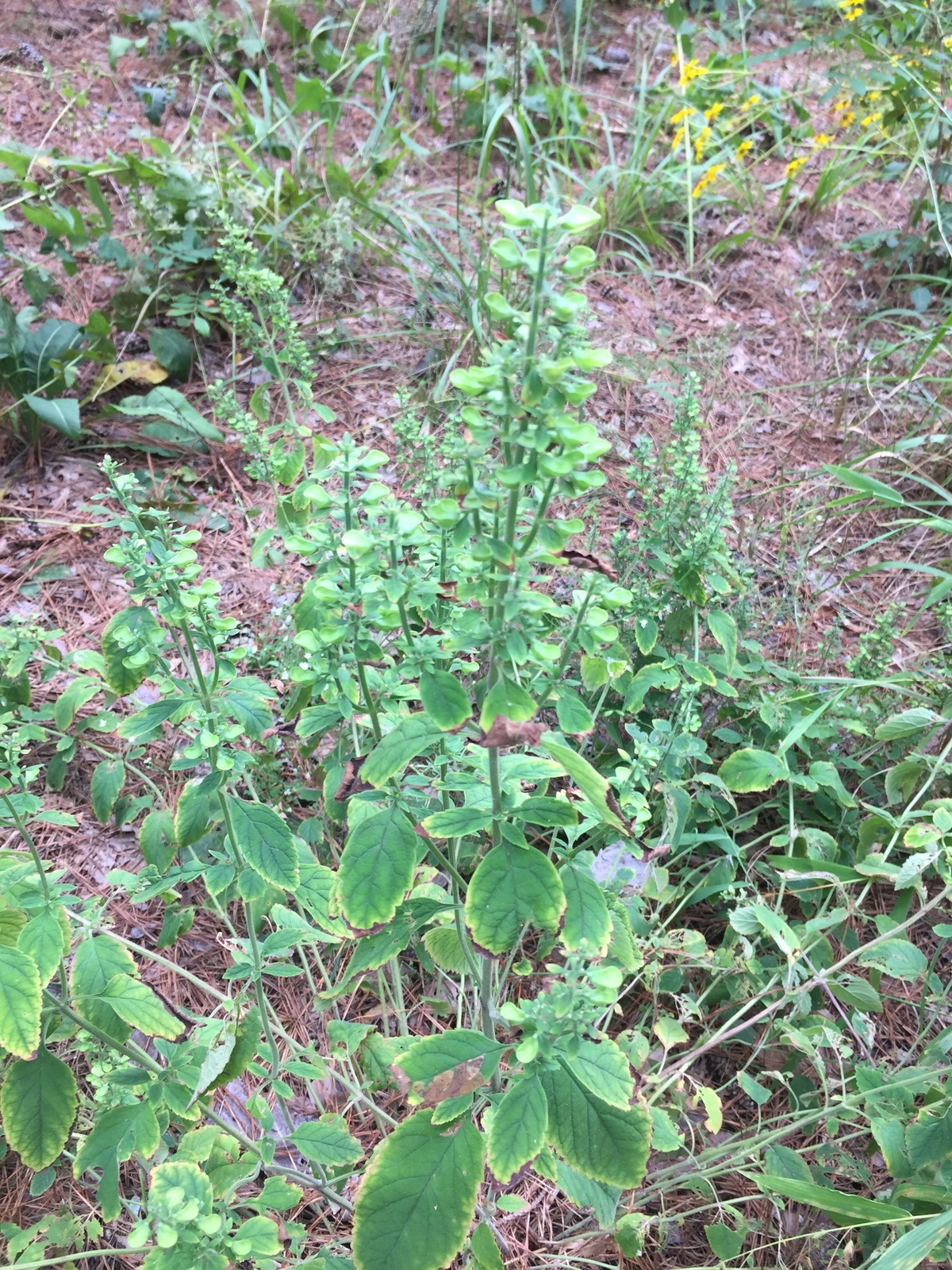
The collision of Cumberland Plateau sandstone, Sequatchie Valley limestone, and Tennessee River Gorge hardwood slopes gives Marion County an uncommonly rich natural history. Spring ephemerals carpet cove floors in March; cerulean warblers sing from gorge canopies in May; one of the largest gray bat colonies in North America emerges from Nickajack Cave at dusk each summer evening. Several species on the county's ecological roster carry federal status, including the large-flowered skullcap and the gray bat; others, such as the American chestnut and the eastern hemlock, are quieter reminders of how much the region's forests have changed in a century.

Flora & Plant Communities
Spring ephemerals, cove hardwoods, oak-hickory uplands, sandstone heath, limestone bluffs, ferns, orchids, grasses and sedges, fungi, river cane, and the invasives reshaping them.

Fauna & Wildlife
206 birds, 78 mammals, 91 fish, 106 reptiles and amphibians, freshwater mussels, bats, and butterflies of the plateau, valley, and gorge, with sourced cards for each documented species.
Endemic & Notable Species
Federally listed species, regional endemics, recovery stories (bald eagle, river otter, lake sturgeon), and the ecological threats reshaping Marion forests.
Historic structures of the landscape
The 1906 Cumberland Avenue Bridge at Richard City was the only concrete arch bridge ever built in Marion County, per Kelly Wilkerson's 2003 thesis. The bridge sat inside the cement- construction system of the Dixie Portland company town and was on the National Register of Historic Places from October 1991 to July 2001.
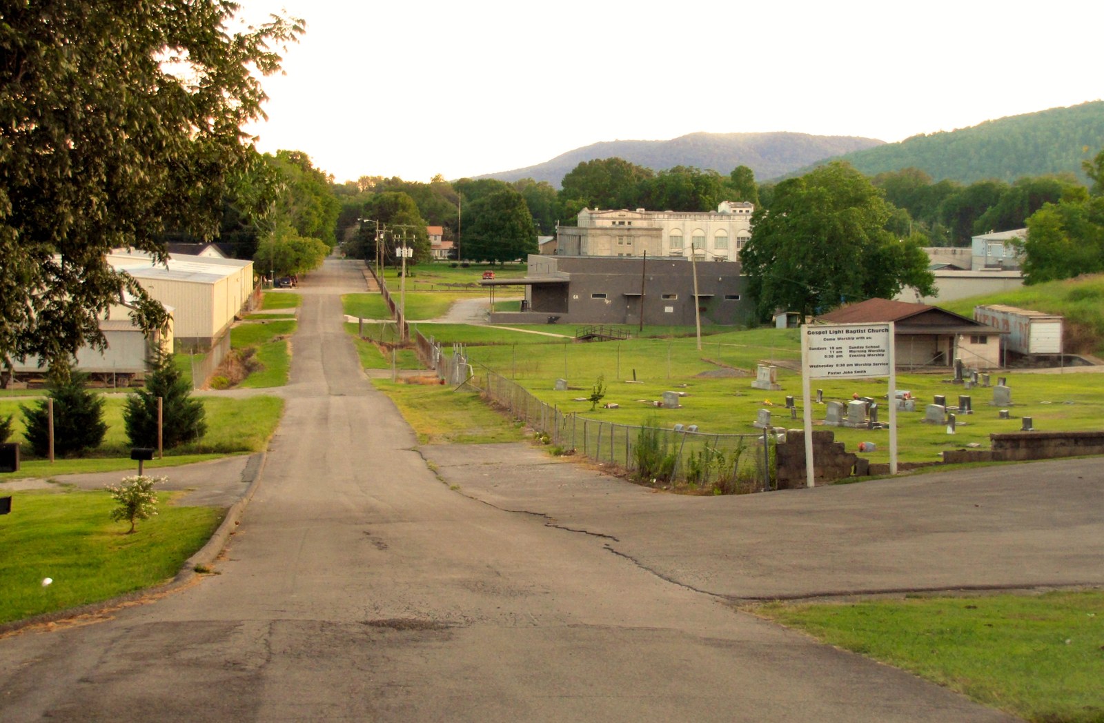
Geography & history intertwined
Marion County's geography has shaped human presence here from the earliest Paleo-Indian hunters through Mississippian villages (traced on the In the Beginning page), Cherokee towns, and Anglo-American farmsteads. The valley offered ground for agriculture and towns; the river provided transportation and power; the minerals beneath the surface attracted mining; the cooler elevations of Monteagle made it a retreat destination. Understanding Marion County means understanding its landscape.
Sources
- Wikipedia — Sequatchie Valley
- Wikipedia — Tennessee River Gorge
- Wikipedia — Nickajack Cave
- Wikipedia — South Cumberland State Park (covers Foster Falls)
- Wikipedia — Cumberland Trail
- Sequatchie Valley Scenic Byway — NSB Foundation
- Wikipedia — TAG Corner (caving region)
- Milici, R.C., "The Geology of the Sequatchie Valley Overthrust Block"
- USGS SIR 2024-5089 — Karst groundwater flow paths, Little Sequatchie and Pryor Cove
- Tennessee Division of Forestry — Prentice Cooper State Forest