Last updated: April 22, 2026
- Type: Former company-built worker village; today a small residential corridor
- Location: Eastern Marion County along Tennessee State Route 156, at the base of Ladds Mountain on the south bank of the Tennessee River, across the river from Haletown and Guild
- Elevation: Approximately 699 feet (213 m)
- Active period: 1905 to 1913 (construction phase); partial residential continuation to the present
- Origin: One of two purpose-built worker villages for the construction of Hales Bar Dam, the companion to Guild on the north bank
- Not to be confused with: Ladds Cove, a separate place at the Battle Creek headwaters near Monteagle, on the south slope of the Cumberland Plateau
Setting
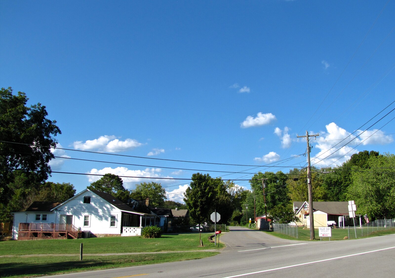
Ladd sits on the south bank of the Tennessee River in eastern Marion County, directly across from Haletown and the Hales Bar dam site. Ladds Mountain rises behind the community to the south, and the river, now the pool of Nickajack Lake, fronts it to the north. Tennessee State Route 156 is the spine of the community, running along the river and connecting the former dam site to the Nickajack Lake shoreline farther southwest. The land sits at about 700 feet in elevation, almost at lake level, cupped between the mountain and the water.
The name has been used in two forms locally, often interchangeably: “Ladd” for the settlement itself, and “Ladds Mountain” for the ridge behind it. On the old East Tennessee and Georgia, later Nashville, Chattanooga and St. Louis, railroad alignment that ran along the south bank of the river, a siding and small station also carried the Ladd name during the dam construction years.
Ladd is not the same place as Ladds Cove, a valley at the Battle Creek headwaters on the south side of Monteagle. Both names trace back to Ladd-family landholdings in the county. The Ladd surname appears in the earliest Marion County records: Amos Ladd is listed as a landowner on the 1824 Marion County roll, one of the first set of tax-paying property owners after the county's 1817 organization, and the family remains in later 19th-century county records. The two Ladd places are geographically distinct: Ladd on the Tennessee River near Haletown, Ladds Cove some twenty miles away on the southern slope of the Cumberland Plateau.
The river bottoms here were part of the Chickamauga (Lower) Cherokee homeland before the 1838 forced removal along the Trail of Tears; the 20th-century Hales Bar worker village was laid out on ground the Cherokee Nation, today a sovereign nation headquartered in Oklahoma, had held for generations.
A Hales Bar worker village
The modern settlement at Ladd dates to the first decade of the 20th century. When the Chattanooga and Tennessee River Power Company began building Hales Bar Dam on October 17, 1905, it needed housing for thousands of construction workers in a remote stretch of the Tennessee River Gorge that had no existing town large enough to absorb them. Two self-contained worker villages were laid out on opposite sides of the dam site: Guild, with its companion community Haletown, on the north bank, and Ladd on the south. A narrow access tunnel, about 2.5 feet wide and 6.5 feet tall, ran underneath the dam and allowed workers and families to move between the two banks without waiting for ferries.
Work on the dam was long, difficult, and often deadly. Construction ran eight years, longer than planned, and the finished dam was plagued by the leaks that made Hales Bar infamous among American hydroelectric projects. The dam began generating power on November 11, 1913, and as the workforce thinned Ladd settled into a much quieter existence.
After the dam
Like Guild and Haletown, Ladd shrank considerably after the dam was finished. Some families stayed on, worked at the dam, or farmed the narrow bottomland between the mountain and the river. The Tennessee Valley Authority bought Hales Bar in 1939 as part of the consolidation of the region's private power utilities, and TVA took over employment at the powerhouse and locks. When the leaking dam was decommissioned and replaced by Nickajack Dam in 1967, the old dam was largely demolished and the river widened into Nickajack Lake. Ladd was not submerged, but its shoreline moved inward as the pool rose.
The community today is a rural residential strip along TN-156, with scattered homes, a few small farms, and a long frontage on Nickajack Lake. The place name survives on maps of Ladds Mountain and in local usage for the stretch of TN-156 at its base; the village itself is no longer a distinct settlement with its own post office or institutions.
Related
Haletown and Guild →
Hale's Bar Village (Guild and Ladd) →
Hales Bar Dam →
Tennessee River Gorge →
Ladds Cove (the separate place near Monteagle) →