Last updated: June 2, 2026
- What: the network of Native American overland trails that crossed the Sequatchie country
- Hub: the "Old Creek Crossing," a ford in the Tennessee River at the south end of Long Island, near present-day South Pittsburg
- Principal trails: the Black Fox Trail, the Sequatchie Trail, the Cisca and St. Augustine Trail (the Nickajack Trail), the Chickamauga Path, and the Great Indian Warpath
- Used for: trade, war, and diplomacy among many nations; later reused by traders and settlers as wagon roads
- Recorded in: William E. Myer's "Indian Trails of the Southeast" (1928), drawn on by Raulston and Livingood
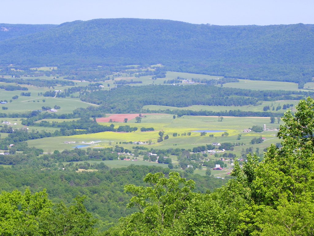
The Tennessee River was the main highway of the Sequatchie country, but it was never the only one. A network of Native American trails crossed the region overland, and a traveler on foot could reach the river country from the Cherokee towns of East Tennessee, from the Cumberland settlements to the north, or from the Gulf coast far to the south by following paths worn deep over centuries of use. In Marion County these trails drew together at a single river ford, the "Old Creek Crossing," at the south end of Long Island near present-day South Pittsburg. This page follows the account in Raulston and Livingood's Sequatchie (1974), which draws on the archaeologist William E. Myer's standard survey, "Indian Trails of the Southeast." For the people who walked them, see the Cherokee Lower Towns and In the Beginning.
Travel by water and by land
Before the Tennessee Valley Authority tamed the river in the twentieth century, the Tennessee was a difficult road. The mountain section through the Narrows and the bad waters at Muscle Shoals downstream limited boat travel, and a boatman faced a circuitous route, spring floods, and summer shallows. The river still offered the main passage from East Tennessee into the Sequatchie country and an outlet to the west, but Native American travelers did not depend on it alone. Tribal life centered on the rivers and streams, yet people moved overland far more than is often assumed. The earliest trails followed traces first worn by animals, and by the time traders and settlers arrived, Native nations, traders, and pioneers were all moving along the same well-chosen paths. Many of the trail names that survive were coined by the white settlers, who found the old routes so well surveyed that they kept them for their wagon roads.
The trails
Five principal trails shaped travel through and around the Sequatchie country, and most of them ran through the southern part of the region near the river.
The Black Fox Trail began in the Cherokee settlements along the Hiwassee River in East Tennessee and led northwestward through the present sites of Charleston and Dayton, climbing Walden Ridge and dropping down into the Sequatchie Valley by the mounds of ancient villages about five miles south of present-day Pikeville. From there it ascended the Cumberland Plateau again toward the well-known Black Fox Springs, near modern Murfreesboro, on its way into Middle Tennessee and the west.
The Sequatchie Trail branched from the Black Fox Trail where that path passed the valley mounds, and ran the length of the Sequatchie Valley beside the river, down to the Tennessee. Keeping close to the water, it passed the sites of a number of prehistoric villages, the same river-bank settlements whose mounds the Spanish expeditions would have seen.
The Cisca and St. Augustine Trail, known in Middle Tennessee as the Nickajack Trail, came out of the Cumberland River Valley, descended the plateau along Battle Creek, and crossed the river at the Old Creek Crossing before continuing south toward Florida, where the Spanish trade at St. Augustine drew Native business. It ran, in all, from the area of St. Augustine to that of Nashville. The Chickamauga Path came in from the north along the Cumberland Plateau and descended the mountain along the same route, while the Great Indian Warpath, the great north-to-south trunk line out of Virginia and East Tennessee, turned westward at Chattanooga and converged with the Cisca and St. Augustine Trail through the valleys south of the Narrows.
The Old Creek Crossing
All of these paths bent toward one point: a ford in the Tennessee River near the southern end of Long Island, which the early settlers knew as the "Old Creek Crossing." It was here, below Long Island, that the Great Indian Warpath crossed the river and met the Cisca and St. Augustine Trail, and here that the Chickamauga Path and the valley's own Sequatchie Trail came down to the water as well. The crossing lay just before the river leaves the Sequatchie country for Alabama, on the reach where it washes the northern shore of Long Island, the same ground where the archaeologist Clarence B. Moore would later record numerous mounds.
The Old Creek Crossing was one of the most important fords on the Tennessee River. Over the years a steady stream of travelers from many nations met here on their way to a war rendezvous or to some place where trade looked promising. Some were carrying enslaved people to distant markets, some traveled on diplomatic missions between the nations, and some, in the words of Raulston and Livingood, simply "sought adventure and the experience of knowing new places." For a few square miles of riverbank near present-day South Pittsburg, the crossing made the lower Sequatchie country one of the busiest meeting points in the whole Native American Southeast.
From trail to wagon road
The trails outlasted the people who first wore them. When white settlers reached the valley, they found the old traces so practical, so well fitted to the grades and gaps of the mountains, that they adopted them outright, widening footpaths into wagon roads along the same lines the Native nations had chosen. The logic of the network, river fords, mountain gaps, and the easiest grades up the plateau, was the logic the land itself imposed, and it shaped the routes of travel through Marion County long after the trails had names. The crossing places and the mountain passes that the Black Fox, the Sequatchie, and the Nickajack trails used were the same ones the county's roads would later need.
Related
The Cherokee Lower Towns →
Nickajack and Running Water →
Crowmocker, on the Nickajack Trail →
The early explorers: De Soto, Luna, and Pardo →
Chiaha →
Battle Creek →
Sources
- J. Leonard Raulston and James Weston Livingood, Sequatchie: A Story of the Southern Cumberlands (Knoxville: University of Tennessee Press, 1974), chapter 2, "Visitors and the Land," pp. 23–24, drawing on William E. Myer, "Indian Trails of the Southeast" (Bureau of American Ethnology, 1928).
- Wikipedia — Great Indian Warpath (the Cisca and St. Augustine Trail, the crossing below Long Island, and the trail network around Chattanooga).