Last updated: June 2, 2026
- What: a fortified Mississippian river-island town visited by Spanish expeditions in the 1500s
- De Soto's stay: about a month in 1540 (June 5 to June 28, per the Tennessee Historical Commission marker)
- Spanish names recorded: Chiaha, Ichiaha, Lameco, Solameco, Olamico
- Language: a Muskogean tongue, Koasati
- Disputed location: Burns' Island below the Sequatchie's mouth, Williams Island near Chattanooga, or far upstream on the French Broad
- Marker: a Tennessee Historical Commission marker stands on U.S. 72 near I-24 at Kimball
Chiaha was the river-island town where Hernando de Soto's expedition rested for about a month in the summer of 1540, and where the men of Juan Pardo built a fort a generation later. For the Sequatchie country it is the oldest place-name in the written record, and the most argued-over. Depending on which reconstruction of the Spanish routes a historian follows, Chiaha stood at Burns' Island just below the mouth of the Sequatchie, at Williams Island upriver near Chattanooga, or far away on the French Broad River in East Tennessee. This page lays out what the chronicles say about the town and walks through the locations scholars have proposed. The account here follows Raulston and Livingood's Sequatchie (1974) together with the expedition chronicles and the modern archaeological record.
The town the Spaniards found
Every Spanish account agrees on the broad picture: Chiaha was a substantial Native American town set on an island in a river, surrounded by smaller settlements and by good farmland. It was, in the chroniclers' telling, the first place on De Soto's march where the Spaniards "found fenced villages," meaning the wooden palisades that ringed the larger towns of the Mississippian Southeast. The town belonged to the orbit of Coosa, the powerful chiefdom that held sway over much of the region, and its people spoke a Muskogean language called Koasati.
De Soto's people rested here in June 1540 to let their worn horses recover, and the stay was mostly peaceful until the governor demanded women of the townspeople and they fled, returning only after the demand was dropped. When the expedition left, on June 28, the town furnished it with carriers for the march onward. A quarter of a century later, in 1567, some of Pardo's men reached the same town, which their records also call Lameco and Solameco, and built a fort there. The expedition's Juan de la Vandera left the warmest description any of the Spaniards wrote of the place, calling it "rich and broad land, a big place, surrounded by pretty rivers," and concluding, "it is an angelic land." Within a year the fort, like all of Pardo's interior posts, had been destroyed.
Where was Chiaha? Three locations
The trouble is that the chronicles describe the town far better than they locate it. Spanish scribes wrote place-names by ear, through interpreters, and measured distances in rough days' marches, so reconstructing the route depends on matching those clues to real rivers and real archaeological sites. Three candidates have been put forward for Chiaha, each tied to a different reading of the Spanish routes.
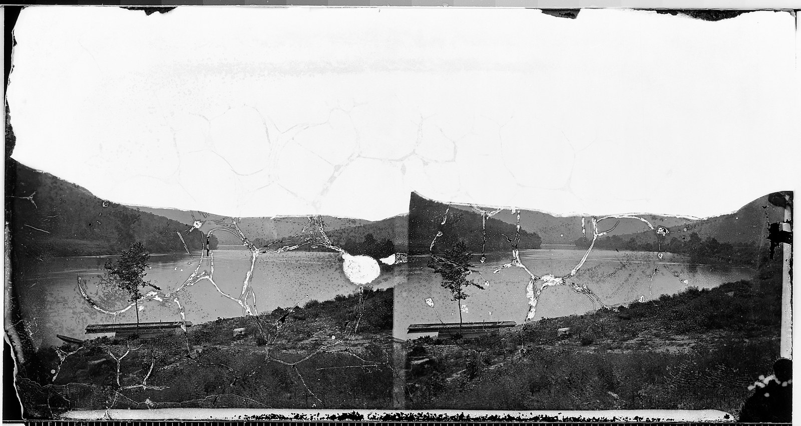
Burns' Island, below the Sequatchie. The reconstruction that gives Marion County its claim is the oldest of the three. In 1939 the federal commission led by John R. Swanton routed De Soto down the Tennessee River and placed Chiaha on Burns' Island, formerly known as Lowery's Island, in the Tennessee just beyond the mouth of the Sequatchie River near present-day Kimball. Raulston and Livingood follow this placement in Sequatchie, and the Tennessee Historical Commission's roadside marker at Kimball commemorates it.
Williams Island, near Chattanooga. Raulston and Livingood themselves note a second view. Pardo's people reported that Chiaha lay at the "end of the sierra," with a mountainous country three days' travel to the west, and those geographic details led later scholars to move the town upriver to Williams Island, in the Tennessee just east of the Sequatchie Valley and north of Moccasin Bend. On this reading Chiaha sat at the edge of Marion County's river reach rather than within it, but on the same stretch of the Tennessee.
The French Broad, in East Tennessee. The reconstruction most widely cited in recent scholarship moves the town much farther away. Working with archaeological evidence unavailable to Swanton, Charles M. Hudson and others turned De Soto's route south into Georgia rather than down the Tennessee, and identified the Chiaha the expedition visited with a Mississippian town on Zimmerman's Island in the French Broad River, far up in East Tennessee near the modern Douglas Dam, where a platform mound was recorded before the reservoir covered the site in 1943.
No single placement has won the field. Marion County's connection to Chiaha rests on the older Swanton reconstruction and the local marker, while much modern route scholarship has tended to set the principal Chiaha well upstream. What is not in doubt is that the lower Tennessee River around the mouth of the Sequatchie carried its own Mississippian river towns in exactly this period, and that Spanish expeditions did pass through this reach of the river.
The river-island towns
Whatever the right name for any one of them, the islands and bends of the Tennessee around the lower Sequatchie were thick with Native American towns when the Spaniards came through. Williams Island and the Moccasin Bend peninsula just upstream both carried Mississippian settlements, and it is there that the clearest physical sign of the entradas has turned up. At Hampton Place on Moccasin Bend, archaeologists have documented two late Mississippian towns that produced Spanish artifacts, tangible evidence that the explorers passed among these river towns even where the exact identity of Chiaha stays unsettled. Downstream, the island the 1939 commission and the marker call Chiaha, Burns' Island, lies in Marion County's own reach of the river, below the Sequatchie's mouth.
The marker at Kimball
Chiaha is marked in Marion County. A Tennessee Historical Commission marker stands on the east-bound side of U.S. Highway 72 near the interchange with Interstate 24 at Kimball, recording De Soto's stay at the town in the summer of 1540 and pointing to Burns' Island in the river to the south. It is one of a small cluster of Native American history markers in the county, alongside the markers for Nickajack Cave and the vanished Cherokee town of Running Water. The marker reflects the Swanton placement, and it is the reason a traveler on the interstate at Kimball passes, without knowing it, the spot where a roadside sign claims one of the oldest events in the written history of Tennessee.
Chiaha and the Koasati
The town faded from the record after the Spanish century, but the name of its people may not have. Chiaha's residents spoke Koasati, and generations later, when the Cherokee pushed down the Tennessee and built their Lower Towns in this same stretch of river, the Cherokee name they used, recorded in early treaties as Ani-Kusati-yi and worn down into Nickajack, is read by some scholars as a reference to the Koasati who had once lived along this stretch of the river. The etymology is contested, and other readings tie the name to Coosa or to a personal name, as the Cherokee Lower Towns page discusses. But if the Koasati reading is right, the people De Soto's chroniclers met at Chiaha in 1540 left a trace on the Marion County landscape twice over: once as the river town the Spaniards struggled to spell, and again, two centuries later, in the Cherokee name for the cave and the towns that would rise in the same gorge.
Related
The early explorers: De Soto, Luna, and Pardo →
The Native American trails and the Old Creek Crossing →
In the Beginning: the first peoples of the Sequatchie country →
The Cherokee Lower Towns →
Nickajack and Running Water →
Sources
- J. Leonard Raulston and James Weston Livingood, Sequatchie: A Story of the Southern Cumberlands (Knoxville: University of Tennessee Press, 1974), chapter 2, "Visitors and the Land," pp. 13–15.
- Wikipedia — Chiaha (the chiefdom, the Koasati language, and the French Broad / Zimmerman's Island identification).
- Wikipedia — Hernando de Soto (the Swanton 1939 commission route and Hudson's later reconstruction).
- Wikipedia — Moccasin Bend (Hampton Place and the Spanish artifacts).
- Wikipedia — Great Indian Warpath (the Koasati / Ani-Kusati origin of the Nickajack name).
- South Pittsburg Historic Preservation Society — Marion County historic markers (the Chiaha marker at Kimball).