Last updated: May 6, 2026
TNGenWeb's Marion County cemetery list catalogs over one hundred burial grounds across the county: family plots on early land grants, church yards, industrial-era town cemeteries, and partially submerged sites along the Tennessee River Gorge. Kelly's Ferry Cemetery (NRHP 2006) is the only individually listed National Register cemetery in the county. This page collects the cemeteries that have received dedicated research, with a six-cemetery featured set covering the largest, the oldest, the only nationally listed, and the burying ground that holds the founding generation of South Pittsburg.
Featured cemeteries
Cumberland View Cemetery, Kimball
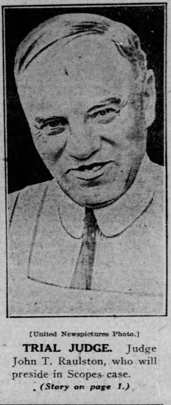
The largest cemetery in Marion County, with about 3,003 memorials and the graves of Scopes Trial judge John T. Raulston and Medal of Honor recipient Raymond H. Cooley.
Pine Grove Cemetery, Jasper
The county-seat burial ground above Jasper, with about 2,001 memorials including a 2016 monument to Captain Alexander Kelly of King's Mountain and the Lewis pioneer family.
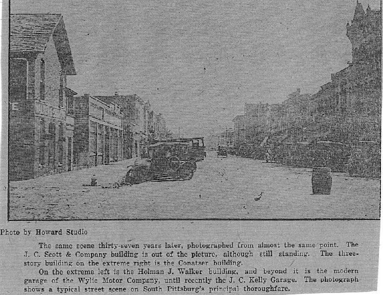
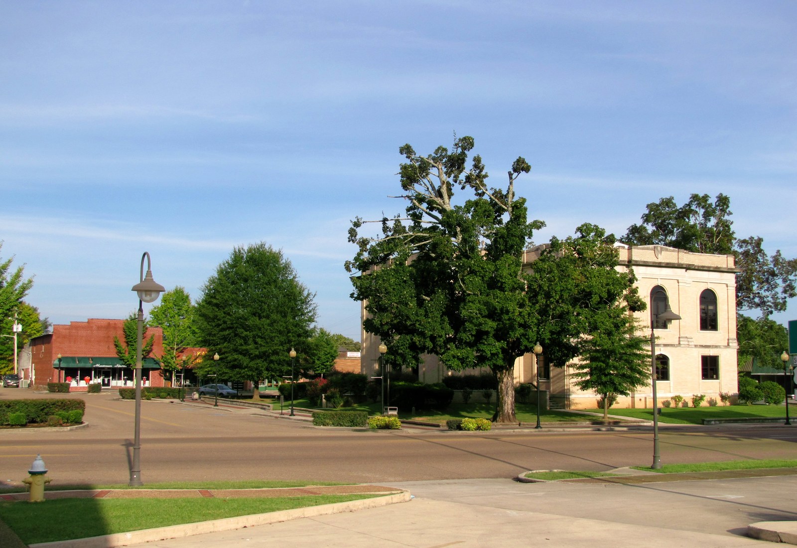
Old City Cemetery, South Pittsburg
An integrated antebellum-and-after burying ground below Whiteacre Point, dating to at least 1840 with about 1,600 burials including the English Quaker founders of South Pittsburg.
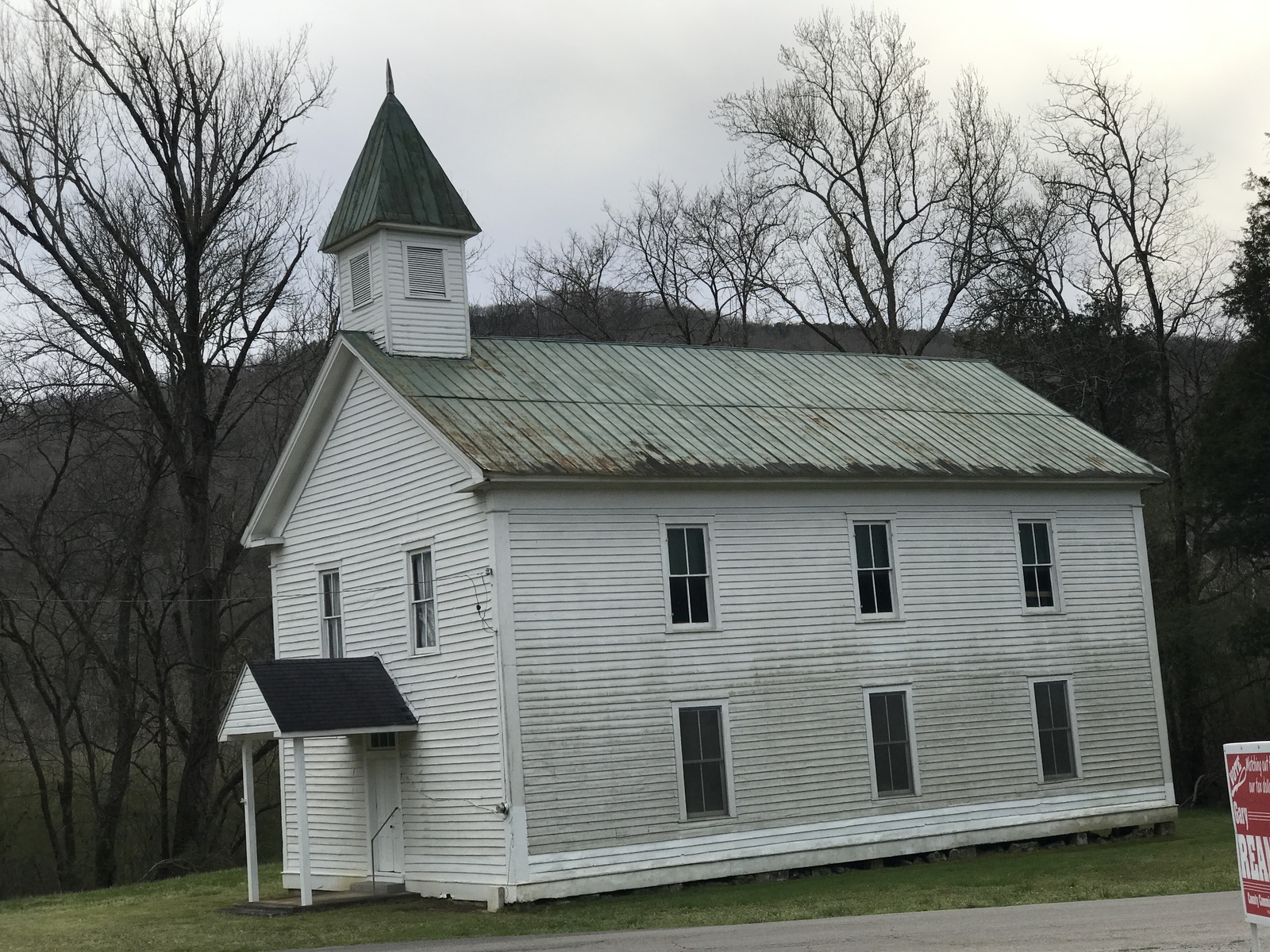
Bean-Roulston Graveyard, Sweeden's Cove
A pioneer family burying ground founded in 1824 holding veterans of every American war from the Revolution to Korea, the twenty unidentified Confederates of the 1862 Battle of Sweeden's Cove, and Sheriff Wash Coppinger.
Kelly's Ferry Cemetery
The only individually NRHP-listed cemetery in Marion County, on a bluff above the inundated Kelly's Ferry landing and the 1863 Cracker Line haul road.
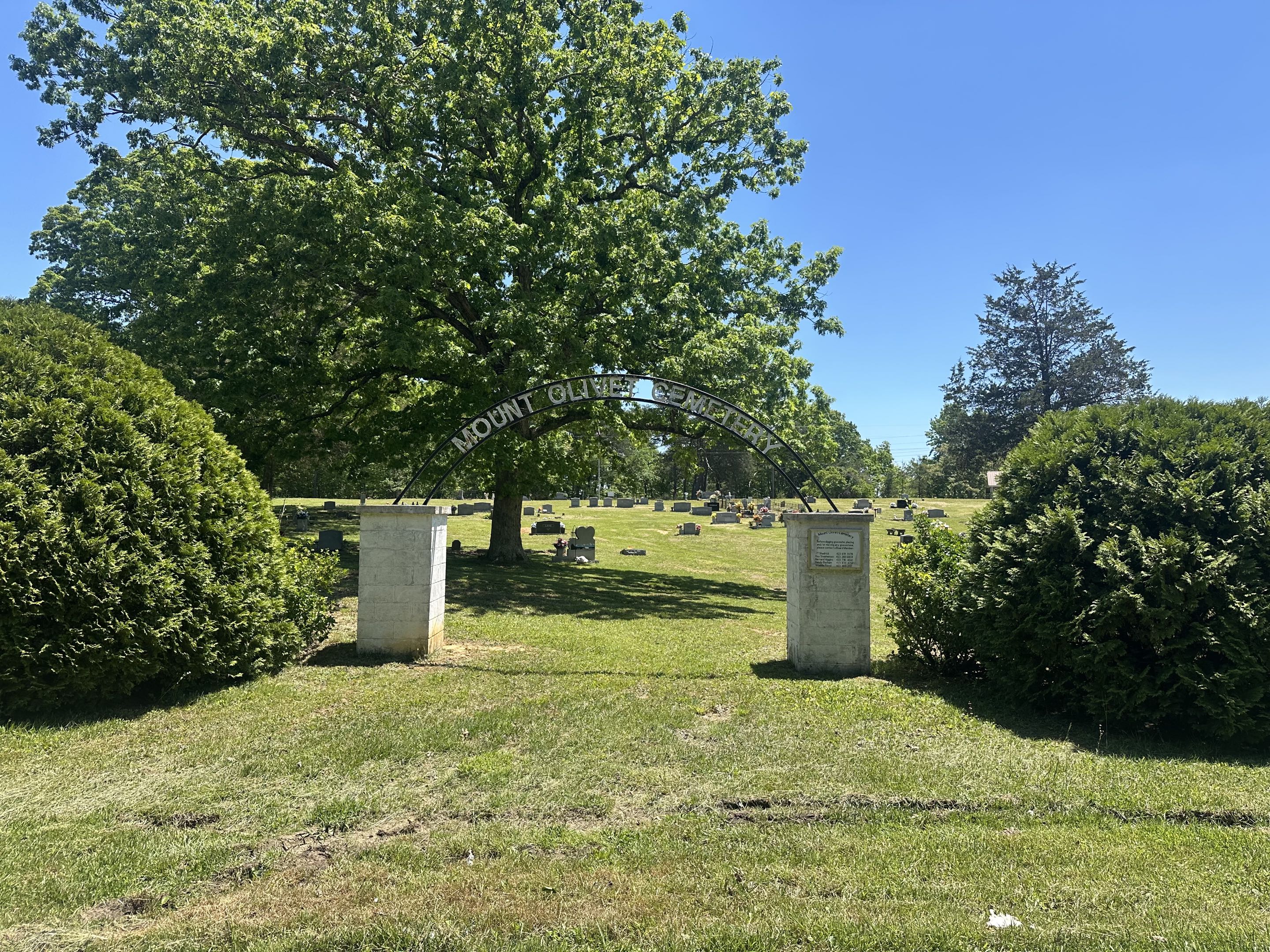
Mount Olive Cemetery
The coal-era community burial ground on the Cumberland Plateau above Whitwell, with 340 memorials spanning the 1890s to the present.
Related
Religious History →
About Kelly's Ferry →
About Mount Olive →
About Sweeden's Cove →
About Jasper →
About Kimball →
About South Pittsburg →