Last updated: April 22, 2026
- Type: Unincorporated community / rural cove
- Location: North side of the Tennessee River Gorge in eastern Marion County, along Mullins Cove Road, below the rim of Raccoon Mountain and within the footprint of Prentice Cooper State Forest
- Earliest documented Anglo-American settlement: 1807–1811, by Henry Long (1782–1875) and Zilpha Long (1792–1860), on a 2,000-acre tract
- Notable feature: Long Cemetery #2, a family burial ground partially submerged by Nickajack Lake; three tombstones remain visible at the water line
Setting
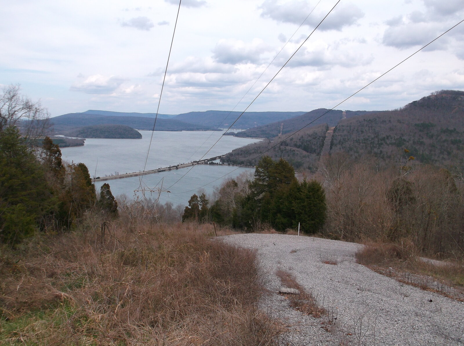
Mullins Cove lies on the north side of the Tennessee River Gorge, the 26-mile canyon that carries the river from the edge of Chattanooga down to Nickajack Dam. The cove is reached by Mullins Cove Road, which descends from the plateau rim and winds along the river's edge inside the gorge. Prentice Cooper State Forest covers the surrounding ridges on the north rim, so the cove's uplands are public land, while the valley floor along the shoreline is a mix of private parcels, TVA-managed drawdown zone, and lake surface.
Before the river was impounded, the cove was the mouth of a steep, forested drainage that came down off the plateau through fertile bottom land, and was covered by dense canebrake from the rim to the river. It was shielded from the outside world by the gorge walls on one side and the Cumberland Plateau on the other, which is one reason it was slow to be settled and slow to lose its early 19th-century character.
The name of the cove itself predates the surviving settlement records. The earliest documented family in the cove, Henry and Zilpha Long, moved in between 1807 and 1811, but by the time they arrived the place was already being called Mullins Cove, a reference to a Mullins family whose specific connection to the site is not preserved in the available sources. The Long, Mullins, Doran, Inman, and Coppinger surnames all turn up together in the cove and the neighboring Doran Cove in the early 19th-century rolls, and it is likely that a Mullins household used the cove or held a stake in it at or just before the Long arrival. Doran Cove, to the east, takes its name in the same way from the Doran family, one of whom, James Doran, is listed among the county's 1811 settlers.
Cherokee and pre-Cherokee presence
The Long family arrived in a cove that had been used by Indigenous peoples for thousands of years. Archaeological sites along the Tennessee River Gorge preserve evidence of Archaic fishing and hunting camps (roughly 8000 to 1000 BC), later Woodland occupation, and Mississippian villages along the river flats between about AD 900 and 1600. The canebrakes, spring mouths, and rockshelters of the north-rim cove were attractive to hunters and foragers well before the written record.
By the 18th century, the gorge was part of the Cherokee homeland. In the 1770s the Chickamauga Cherokee under Dragging Canoe established the Five Lower Towns a short distance south of Mullins Cove, with Nickajack and Running Water directly across and downstream. The north rim, including the Mullins Cove bend, was used for hunting, seasonal camps, and river travel tied to those towns. Both Nickajack and Running Water were destroyed in the 1794 Nickajack Expedition, but Cherokee families continued to hold and use land in the gorge afterward; under the Treaty of 1819, several Cherokee heads of household took 640-acre reservations along Battle Creek and adjacent bottoms, overlapping with the first decade of Anglo-American settlement in Mullins Cove. Most of these reservees were pressed off their land by the mid-1820s; the remainder of the Cherokee community in the region was forcibly removed along the Trail of Tears in 1838. The Cherokee Nation, today a sovereign nation headquartered in Oklahoma, traces a portion of its ancestry through the families who once held this stretch of the river.
Henry and Zilpha Long
The recorded history of Mullins Cove begins with Henry Long and his wife Zilpha Long. Henry, born in 1782, moved into the cove in 1807; he and Zilpha, born in 1792, married in 1808 and by 1811 were in possession of a 2,000-acre tract that covered much of the cove. Zilpha died in 1860; Henry died in 1875. Their descendants remained in the cove through the rest of the 19th century.
This was early for Euro-American settlement in what is now Marion County. The Cherokee Lower Towns had been broken up by the Nickajack Expedition of 1794, and small numbers of white settlers began filtering into the river valley in the first decade of the 1800s, but much of the area was not legally opened until the Calhoun Treaty of 1819. The Longs were among the first documented families in the gorge, a generation ahead of most of the ridge and valley settlement east of Battle Creek. Surnames associated with the cove and its neighbors, Long, Mullins, Doran, Inman, Coppinger, carried forward into the later county census rolls.
Long Cemetery #2 and the rising river
The family burial ground that eventually became known as Long Cemetery #2 sat on low ground near the river's edge. In the 1920s the Chattanooga and Tennessee River Power Company, soon consolidated into Tennessee Electric Power Company (TEPCO), added flashboards to the crest of Hales Bar Dam, raising the pool upstream roughly three feet to about 629 feet above sea level. That raise put the cemetery under water long before TVA took over the dam in 1939. Headstones that had stood on the riverbank became headstones standing in the edge of the lake.
In 1944, the Tennessee Valley Authority concluded a formal agreement with Long family descendants. Rather than relocating the remains, the agreement was to leave the burials in place. The TVA position has been that the flooding predated its involvement and that the 1944 understanding controls. When Nickajack Dam replaced Hales Bar in 1967, Nickajack Lake settled at roughly 633 feet above sea level, and the cemetery remained at or near the surface year-round rather than being buried under deeper water.
Three tombstones still stand at the site, cracked and weathered, tilting above the water line. Each carries a shared engraving of a hand with one finger pointing skyward. The graves are those of Henry Long, Zilpha Long, and their great-grandson Moses Merritt Long, born in November 1880 to Rhoda Greer Long and named for her father Moses Greer, who died three months later in February 1881. The cemetery is accessible only by boat and is one of the most unusual surviving 19th-century burial sites on the Tennessee River.
McNabb Mines and the gorge economy
In the early 1880s, David McNabb came down the Tennessee River from upper East Tennessee and opened a coal-mining operation on the slope above the cove, at the southern end of Walden's Ridge. The works became known as the McNabb Mines, and the company-town settlement that grew up around them was locally called Shake Rag. The mines closed permanently in 1905, and the camp emptied. The 457-acre site is now within Prentice Cooper State Forest and was added to the National Register of Historic Places in 2008; stone ruins of the mine structures, the company store, the hotel, the row of beehive coke ovens, and the trace of the incline plane down the cliff face are still visible from Mullins Cove Road. See the dedicated Shake Rag community subpage →
McNabb's operation sat on the north rim of the gorge, opposite the larger mining complex at Aetna Mountain on the south side. The two sets of workings bracketed the upper stretch of the gorge in the late 19th century, but neither grew into the kind of industrial town that Whitwell or Victoria did on the plateau above. Coal from the cove was moved by rail and river to markets in Chattanooga and Nashville until the operation closed.
Present day
Mullins Cove today is a rural residential cove with a small permanent population, a handful of lakeside properties, and broad public land on the ridges above. Mullins Cove Road, a winding paved county road, is the main access. The cove is a jumping-off point for Prentice Cooper's trails, including the 9.5-mile Cumberland Trail Mullens Cove Loop with its long view from Snooper's Rock, and for boat access into the gorge. (The trail conventionally renders the loop as Mullens Cove and the cove community as Mullins Cove; both spellings appear in local sources.) See the hiking and trails hub for the loop's stats and trip-planning notes. The cove has no post office of its own, no incorporated status, and no commercial center; it is better understood as a named valley and a scattered rural settlement rather than a town.
Related
Henry and Zilpha Long profile →
Tennessee River Gorge →
Haletown and Guild →
Coppinger Cove →
Hales Bar Dam →
The TVA era in Marion County (Mullins Cove displacement) →
First settlers of Marion County →