Last updated: April 23, 2026
- Type: Town
- Incorporated: 1976
- 2020 population: 1,296
- Elevation: 676 ft
- Area: 4.90 sq mi
- Named for: Foster Powell, WWI veteran
Powells Crossroads sits on the eastern side of Marion County along Suck Creek Road (TN-27), the winding route that climbs from Chattanooga up over Walden's Ridge into the Sequatchie Valley. It is the valley's southeastern gateway.
Setting
Powells Crossroads occupies the southeastern corner of the Sequatchie Valley floor at about 676 feet of elevation, at the junction of State Route 283 (Valley View Highway, running northeast up the valley) and State Route 27 (Suck Creek Road, climbing east over the ridge). The Sequatchie River runs just west of town, separating Powells Crossroads from Whitwell on the opposite bank, and Walden Ridge rises sharply to the east. The long, forested mass of Prentice Cooper State Forest wraps around the town on the east and south, forming the boundary between the valley and the Tennessee River Gorge below. The town name comes from Foster Powell, a World War I veteran whose cluster of buildings at the crossroads gave the surrounding district its identity; Suck Creek Road, older than the town by centuries, takes its name from the notorious “Suck” rapids on the Tennessee River at the foot of the grade it climbs.
Cherokee and pre-Cherokee presence
The crossroads sit on a corridor of Indigenous use that is far older than any European name attached to it. Archaeological sites along the lower Sequatchie and at the foot of Walden Ridge document Archaic and Woodland occupation, roughly 8000 BC to AD 900, and the Mississippian period (c. AD 900 to 1600) reached up the valley from the larger Tennessee River towns. By the late 18th century the area was Cherokee country, held in particular by the Chickamauga (Lower) Cherokee, who used the Suck Creek grade and the valley floor as a travel corridor between the Lower Towns on the Tennessee River and the Overhill country to the northeast. Cherokee households remained in the valley after 1794 and held 640-acre reservations under the Treaty of 1819; the remaining Cherokee community was forcibly removed along the Trail of Tears in 1838. The Cherokee Nation, today a sovereign nation headquartered in Oklahoma, traces ancestry through the families whose footpaths crossed this ground. The route that becomes Suck Creek Road was later used by Union and Confederate forces during the Civil War.
Foster Powell and the crossroads (post-WWI)
After World War I, veteran Foster Powell built a small store, garage, and workshop cluster at a prominent crossroads in the area. The cluster grew into a small community, and the surrounding rural district took on his name.
Incorporation (1976)
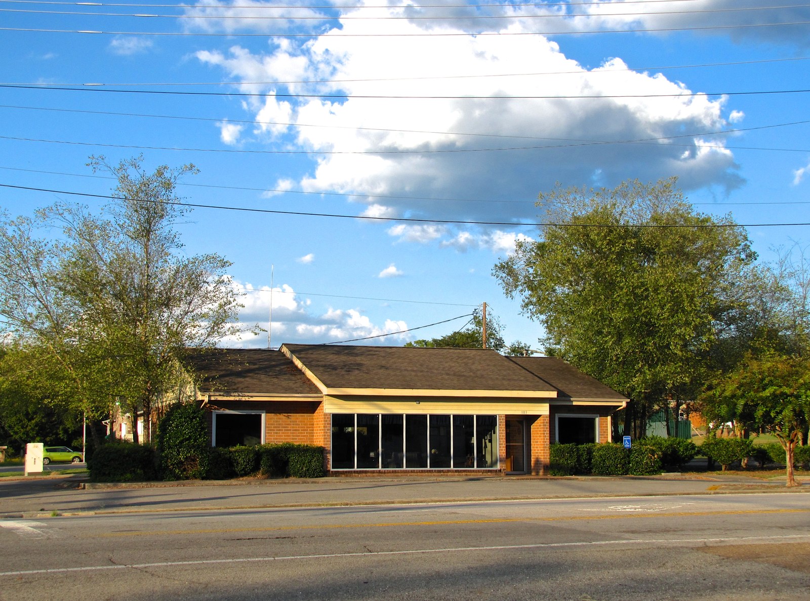
The town was formally incorporated in 1976, making it one of the younger municipalities in the county. Powells Crossroads operates under a General Law Mayor-Aldermanic charter; the board of mayor and aldermen meets monthly at the Town Hall on Alvin York Highway. The Crossroads Volunteer Fire Department, with a station at 138 Alvin York Highway, was organized the same year and has served the Powells Crossroads and adjacent rural areas continuously since. The department, an all-volunteer force of roughly fifteen firefighters and four civilian auxiliary members, provides primary fire and first-response coverage for the southeastern Sequatchie Valley.
The Starman connection (1984)
Parts of the 1984 science-fiction film Starman (directed by John Carpenter, starring Jeff Bridges and Karen Allen) were filmed in the Powells Crossroads area. The opening crash sequence was shot at Prentice Cooper State Forest, and the film's “Crater Lake” is a two-acre lake built for the production by the Tennessee Division of Forestry next to the crash-scene location.
Present day
Powells Crossroads today is a town of 1,296 (2020 census). It sits at the intersection of State Routes 283 and 27 in the Sequatchie Valley, with Whitwell to the west across the Sequatchie River and Walden Ridge rising to the east. The town is primarily residential and rural, with some highway services along TN-27. Prentice Cooper State Forest, one of the largest state forests in Tennessee, borders the town to the east and south, offering hiking, hunting, and scenic views of the Tennessee River Gorge. Population grew from 918 in 1980 to 1,286 in 2000, leveling off in recent decades.
Population
| Year | Population |
|---|---|
| 1980 | 918 |
| 1990 | 1,098 |
| 2000 | 1,286 |
| 2010 | 1,322 |
| 2020 | 1,296 |
Landmarks
- Suck Creek Road / TN-27 corridor
- Prentice Cooper State Forest (bordering the town)
- Sequatchie Valley Scenic Byway gateway
Related
Geography of Marion County →
Tennessee River Gorge →
The Suck rapids →
Whitwell →