Last updated: April 22, 2026
- Type: Census-designated place (CDP)
- Location: Northern Marion County on the Cumberland Plateau, along Tennessee State Route 108 between Palmer (Grundy County) to the north and Whitwell (Marion County) to the south
- Coordinates: 35°17′02″N 85°33′00″W
- Elevation: 2,234 feet (681 m)
- ZIP code: 37397 (Whitwell)
- 2020 population: 405 (American Community Survey)
- Named for: Griffith Creek, a small drainage carrying the surname of an early Marion County settler family
Setting
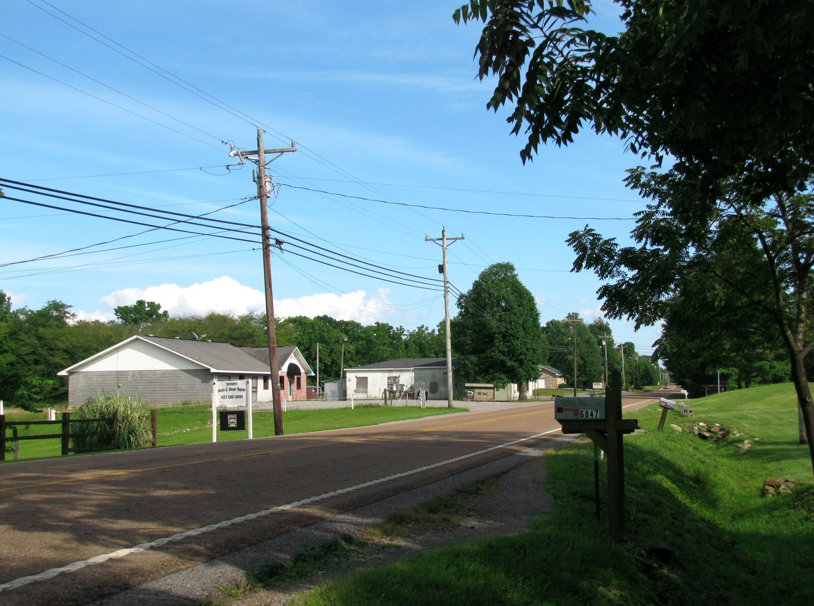
Griffith Creek is a Census-designated place on the Cumberland Plateau bench in the northeastern corner of Marion County, on the Tennessee State Route 108 corridor that carries traffic between Whitwell at the foot of the plateau and Palmer in southern Grundy County. The CDP sits at about 2,200 feet, more than 1,500 feet above the valley floor, which gives it a much shorter growing season and harsher winter weather than the towns below. The drainage that gives the community its name flows north into Grundy County and eventually toward the Collins River system.
The CDP is a relatively recent census construct, drawn so that the U.S. Census Bureau could publish counts for the scattered plateau-rim population on TN-108 that had no incorporated municipality and no separate post office. Mail still goes out under the Whitwell ZIP code (37397), and most local services come from Palmer, Whitwell, or Tracy City rather than from anything within Griffith Creek itself.
The plateau bench here carried Indigenous use long before the 19th-century Griffith farms. Archaic and Woodland rockshelter and camp sites are documented along the Cumberland escarpment above the Sequatchie Valley, part of the valley's deep prehistory traced on the In the Beginning page; by the 18th century the rim and its coves were part of the Chickamauga (Lower) Cherokee country. Cherokee hunting and travel corridors ran between the valley towns at the foot of the rim and the Overhill country to the northeast. The remaining Cherokee community in the valley was forcibly removed along the Trail of Tears in 1838, before the Griffith surname attached to this drainage. The Cherokee Nation continues today as a sovereign nation headquartered in Oklahoma.
Name origin and the Griffith family
The creek and the community both carry the surname of an early Marion County settler family. The Griffiths appear on the TNGenWeb Marion County map of first settlers, alongside Condra, Raulston, Bean, Rankin, Doran, Tate, Bible, Ladd, Pryor, Thach, Patton, and McDaniel, families who arrived in the river valley and on the surrounding ridges between the 1790s and the 1830s. The Griffith family is associated with the drainage rather than with a single house or estate; over time, the creek's name became attached to the cluster of farms and houses near it on the plateau bench. The family is also remembered indirectly through the larger first-settlers history of the county.
The plateau bench and TN-108
Griffith Creek lies on the same plateau bench as Palmer to the north and the now-quiet coal-camp settlements above Whitwell to the south. Through the late 19th and early 20th centuries, this plateau corridor was tied to the Sewanee-Tracy City coal field; the small farms along the rim coexisted with the much larger industrial complexes at Palmer, Tracy City, Whitwell, and Victoria. TN-108 was the primary land route between those coal towns once the rail spurs and tramways began to thin out, and it remains the community's lifeline today.
The Cumberland Plateau here is heavily wooded, with thin, sandy soils over Pennsylvanian sandstone and pockets of coal. Most of the plateau land away from the road is timber, a mix of private holdings and state forest. Population on the bench has always been modest; the 2020 ACS estimate for the Griffith Creek CDP came in at about 400 people, and population in the broader area has been roughly stable through the late 20th and early 21st centuries, neither growing with the lower-valley towns nor losing population the way some of the deep coal camps did after the mines closed.
Present day
Griffith Creek today is a rural residential community of single-family homes, small farms, and stretches of plateau forest, scattered along TN-108 and the side roads that branch from it. There is no commercial center within the CDP boundary and no separate municipal government; civic services are provided by the Marion County government from Jasper, schools by the Marion County school system, and public safety by the county sheriff and volunteer fire departments. The community's identity comes from the creek, the road, and the family lineages that have been on the bench for generations rather than from a downtown or an institution.
Related
Whitwell →
First settlers of Marion County →
Coal and coke →
Geography →